- 516 vm
- C/D
- 1,5–2,5 h ascent
MT. MANGART CLIMB FERRATA VIA ITALIANA
Ascend the majestic Mt. Mangart (2679 m) via the airy and well-secured Ferrata Via Italiana. This classic high-alpine route traverses the exposed north face, offering spectacular views into Italy with the turquoise Laghi di Fusine (Fusine Lakes) below. It’s an essential climb for anyone seeking an authentic Julian Alps ferrata experience.
NORTH FACE ROUTE WITH SPECTACULAR VIEWS OF THE FUSINE LAKES
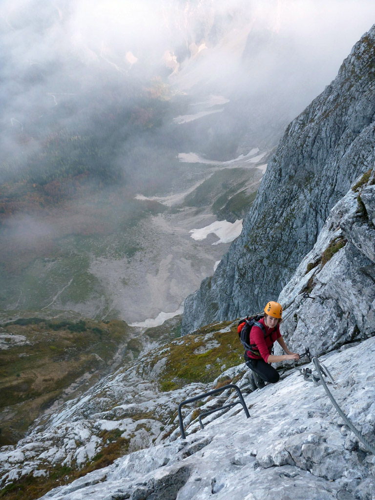
The Ferrata via Italiana is one of the two famous secured climbing routes (besides ferrata via Slovenska pot) to the summit of Mangart. Rated a challenging C/D, it is the more technical and continuously protected route of the two.
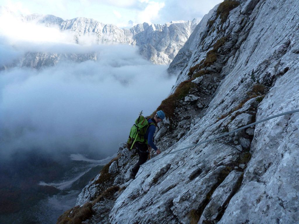
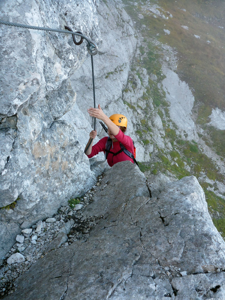
The trip begins with a short but steep descent from the high Mangart Saddle (Mangartsko sedlo) down into the Italian side, leading to the base of the mountain’s north wall near the Bivacco Nogara. From here, the route climbs relentlessly, featuring long, vertical sections and exposed traverses, all brilliantly secured with handrails, numerous iron rungs and staples.
The trail offers continuously spectacular views down the steep wall to the glacial lakes of Laghi di Fusine, with the Italian and Austrian Alps stretching across the horizon. The ferrata ultimately connects with the Italian path, allowing you to reach the summit at 2679 m. The total elevation gain is significant, requiring good fitness and experience in exposed terrain.
STARTING POINT & PARKING
The trip starts at the end of Slovenia’s highest road, the Mangart Road.
- Driving: From Bovec, drive towards the Predel border crossing. Just after the village of Strmec, turn right onto the marked road for Mangrtsko Sedlo (Mangart Saddle).
- Toll: You will pass a toll gate (approx. €5 per car).
- Parking: Follow the narrow, winding road to the highest possible point, a one-way loop just below the Mangart Saddle (∼2055 m). Park legally here.
ROUTE DESCRIPTION: A STEP-BY-STEP GUIDE
- From the parking area, follow the main footpath towards Mangart. You will soon see a saddle/ridge on your left.
- At the signed junction, turn left towards Via Italiana, Bivacco Nogara, and Laghi di Fusine. Follow the steep trail downhill into the Italian side of the mountain. You will lose about 200 m of elevation here.
- Continue following the path past a small pass (often opening up views to the Italian side). The trail leads down towards the Bivacco Nogara.
- Just before or at the bivouac, follow the signs and cairns leading slightly uphill back toward the massive north wall to the start of the secured route.
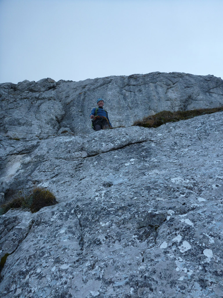
- Clip in and begin the climb. The route is well-protected and features numerous vertical sections and ladders. Maintain focus due to the height and exposure.
- The ferrata section ends high on the mountain, near a junction on the scree slope.
- At this junction, you can either continue to the summit or return to the Mangart saddle. To reach the summit, follow the marked hiking path (non-ferrata section) to the left, which leads to the top of Mt. Mangart (2679 m). For the descent, take the normal trail to the right (Italijanska pot), which leads directly back to the Mangart Saddle parking lot. This is the safest and most commonly used return route.
- If you reach the summit, return by the same path to where you joined the hiking trail, then descend directly via the normal trail (Italijanska pot) back to the Mangart Saddle.
Extra tips
The Via Ferrata Italiana is a challenging (C/D) and highly exposed route suitable only for mountaineers with prior via ferrata experience and a good head for heights. The initial descent to the wall is steep and can be slippery. Do not attempt in storms, rain, ice, or snow.
Proper via ferrata equipment and safe handling techniques are essential for your safety on this route.